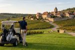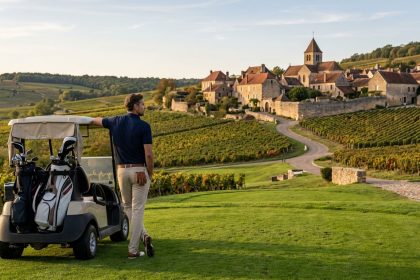
Burgundy rewards anyone willing to slow down. A golf trip can easily begin with tee times and scorecards, yet the real charm of this region often starts once the clubs are back in the car. One hour yo...

You walked through a Beaune market at 8 a.m. and stopped at a counter selling steaming bowls of something that smelled of wine and thyme. Or maybe it was a small restaurant in Gevrey-Chambertin where ...
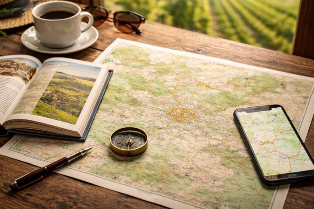
Exploring Burgundy’s rolling vineyards, historic towns, and scenic rivers is easier when you rely on comprehensive travel resources for Burgundy. Maps, guides, and online tools help travelers plan the...
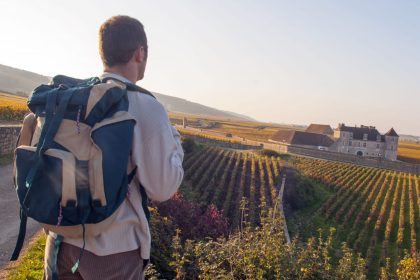
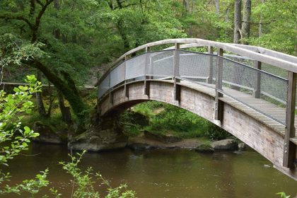
Visitors can enjoy an extraordinary network of walking and hiking trails in Burgundy that wind through lush forests, rolling vineyards, and historic villages. Each trail invites travelers to experienc...
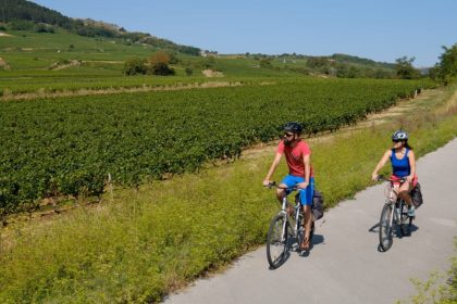
Cycling routes through Burgundy vineyards offer travelers a unique way to experience the region’s beauty and wine culture. Rolling hills, historic villages, and endless rows of grapevines unfold as yo...
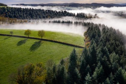
National and regional parks around Burgundy offer a refreshing escape into nature. Rolling hills, lush forests, sparkling lakes, and peaceful rivers provide a perfect setting for outdoor adventures. W...
The River Cousin and its valley wind gently through northern Burgundy, revealing landscapes of rolling hills, dense forests, and charming villages. Its calm waters have shaped local communities for ce...
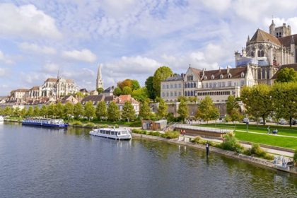
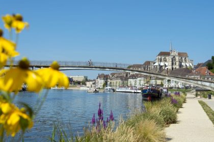
Flowing through the heart of Burgundy, Burgundy’s River Yonne has shaped the landscape and the lives of those living along its banks for centuries. From its source in the Morvan hills to its meeting w...
The rivers of Burgundy are more than scenic waterways; they have actively sculpted the region’s landscape over centuries, forming valleys, meadows, and forests that define its natural beauty. Flowing ...
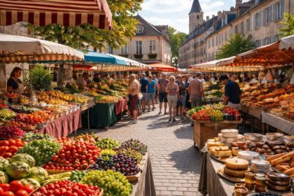
Exploring the food markets across Burgundy offers travelers an immersive way to experience the region’s culinary heritage. These markets are lively hubs where farmers, bakers, and artisans sell fresh ...